Eagleray
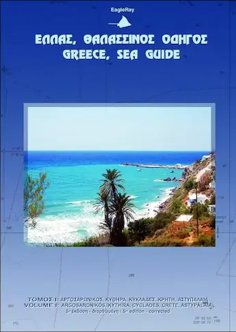
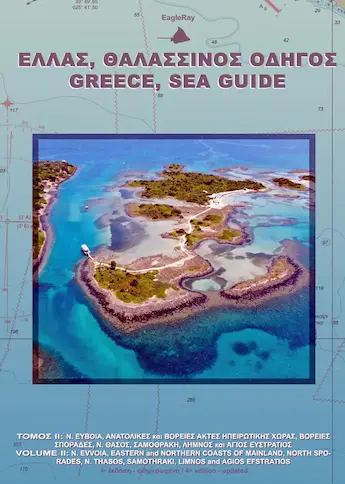
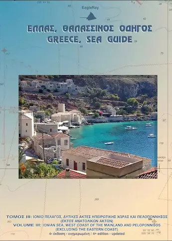
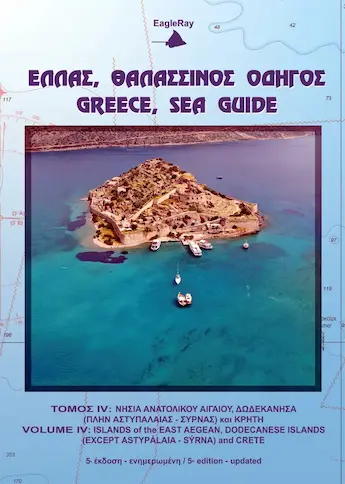
The four Greece sea guides from Eagleray are the ultimate sailing resources for the Ionian and the Aegean seas of Greece: with pilot guide and charts combined in each volume.
E-mail me
for more detailed
information and advice.
Greece, Sea pilot volumes
- Saronic / Argolic, Cyclades – 1
- North Aegean incl. Northern Sporades – 2
- Ionian, west coasts Greece, Peloponnese – 3
- East Aegean, Southern Sporades, Dodecanese – 4
All nautical charts are included in the Eagle Ray books. see examples below for Poros island in the Saronic.
.jpg)
Nes Tselevínia:
History: According to locals, the name of “Tselevínia” came from the Albanians that kept watch for the turkish ships (“tselie” means beware and “venie” means they are coming).
The fishermen call the SW bay of N. Skyllí “Av láki tis nyktós” (Night Cove), as in the old days, the drift - boats used to come here to drag their nets in.
N. Galí anchorage:
Dangers: In the northern part of the small strait there is a passage for boats with draught 0.7m or less. However, even they should pass with the minimum speed possible, so that their stern does not get too deep into the water and hit the bottom.
Attention: Sometimes there are strong currents that make swimming difficult in the small strait.
Shelter: All round protection during summer.
Mooring: Good holding. North of N. Galí you will also be protected from the wash coming from the liners.
Bays in N. Skyllí:
Dangers: The reefs on the NE bay of N. Skyllí protrude for upto 130m from the coast
Shelter: These two bays are along the southe rn coast of the island Skyllí (Éxo Nisí) of the Tselevínia islands. The SW bay provides very good protection from the northern winds. Anchor in the NE bay with calm weather. In this bay you will find large, very nice sea urchins.
.jpg)
ATTENTION: Rocks above and below the sea level make the strait between land (Pláka) and Nsis Lazaréto (tou Kará) impossible to cross.
Dangers: Beware of the fish farm moorings that have been abandoned in O. Gerolimani.
Weather: When the meltemi, which lasts 5 - 10 days, starts to blow, then there is a light mistral (NW) at daybreak that blows up until around 11.00. The meltemi starts around 12.00 and blows until 23.00 - 24.00, when it dies down. The same circle is repeated next morning. There is a land breeze from August - October, which is a light sirocco (SE) wind. It is hot around 10.00 - 11.00 in the morning with calm winds, and then the land breeze picks up and blows until the sun sets. Afterwards the winds turns to a light SW and blows for a couple of hours until it dies down and the winds are then calm.
.jpg)
Dangers: When travelling through the strait keep close to the cost of Póros.
Shelter: From all winds. One of the most sheltered harbours in Greece.
Mooring: Good holding. The N quays and the yacht’s pier are affected by the NW - SW winds which, if they blow strong your stay might be dangerous, especially during spring or autumn, when the strong NW winds blow. However, the biggest problem is the wash caused by the liners. Make sure that the anchor holds, that you have enough buoys, the lines are secure and you have some distance from the quay. Nylon ropes (from polyamid), offering great elasticity, are recommended (ref. “Ropes + Knots”).
Port facilities: For water and electricity, contact the Port Fund Office.
Fuel via tanker. There is a marine equipment shop (22980 25173). Generally, for any type of damage or need, contact the yacht chandler, they will aid you. Two boatyards in the area of Pláka (south of the island Lazaréto)


