Books & maps for
sailing holidays in Greece
![]()
This page is gradually switching away from amazon, because of its anti-competitive business practices, its treatment of workers, its tax and subsidy deals with governments, and Bezos's sycophantic support for Trump.
In sum there are too many exigent unethical issues:
so let's boycott ![]()
Instead I selected a moral bookstore:
![]()
Please check them out – which cares about the environment (carbon neutral), doesn't use taxhavens, independent, supports worker's rights, local businesses, DEI, etc.
Below I kept online (for now) the most indispensable books, guides & nautical charts for you that are available through (UK) Amazon.co.uk.
Likewise I prepared a selection for (USA) amazon users.
I receive a ~4% referral fee from amazon.co.uk, so please purchase your books and charts through the links below.
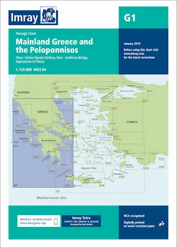
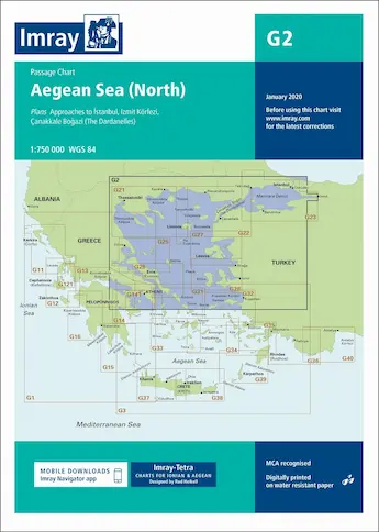
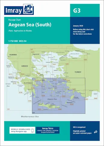
Imray G Charts
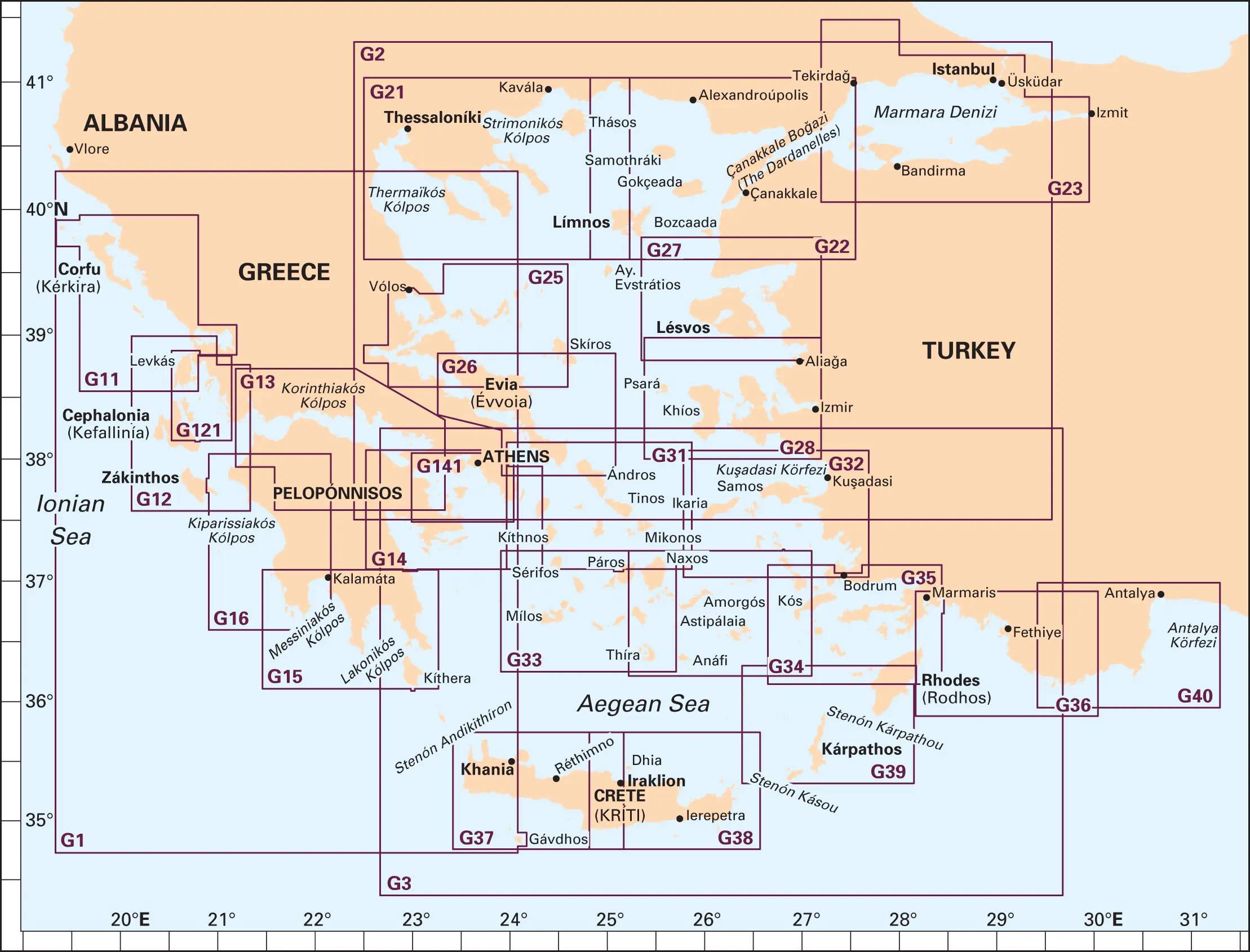
G2 Aegean Sea (north) – Passage Chart
G3 Aegean Sea (south) – Passage Chart
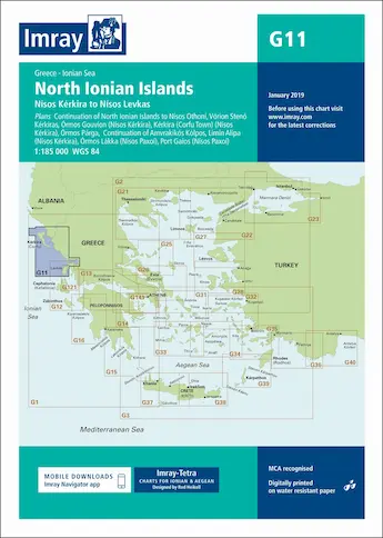
G11 North Ionian Islands – Corfu Levkas
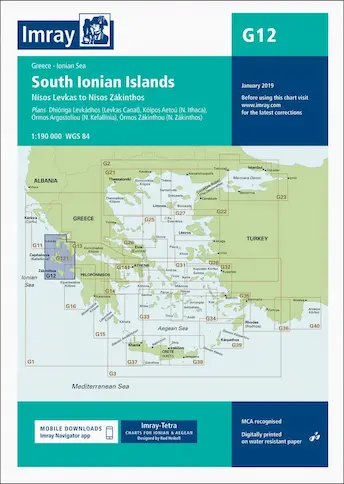
G12 South Ionian Islands – Levkas Zakynthos
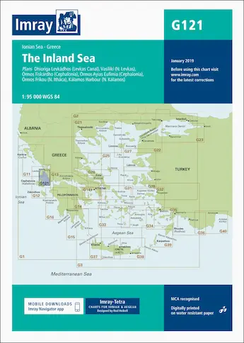
G121 Ionian – The Inland Sea
G13 Gulfs of Patras and Corinth
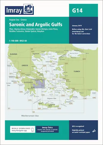
G14 Saronic and Argolic Gulfs
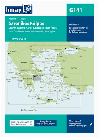
G141 Saronic Gulf – Corinth Canal, Sounion, Poros
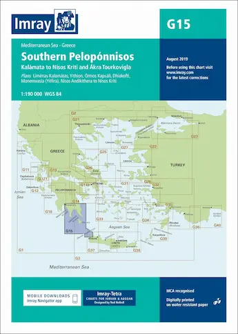
G15 Southern Peloponnese, Kythira
G16 Western Peloponnese
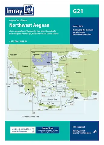
G21 North-west Aegean
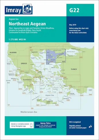
G22 North-east Aegean
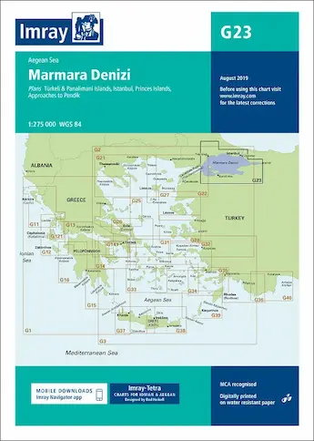
G23 Marmara Sea, Istanbul
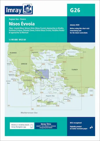
G26 Evia (Euboea)
G27 Lesvos and Coast of Turkey
G28 Chios and Coast of Turkey
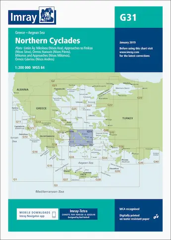
G31 Northern Cyclades
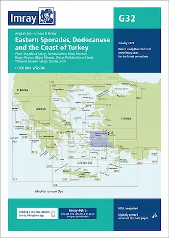
G32 Eastern Sporades, Dodecanese, Ionian coast Turkey
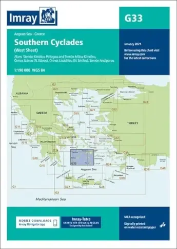
G33 Southern Cyclades (west sheet)
G34 Southern Cyclades (east sheet)
G35 Dodecanese, Carian coast Turkey
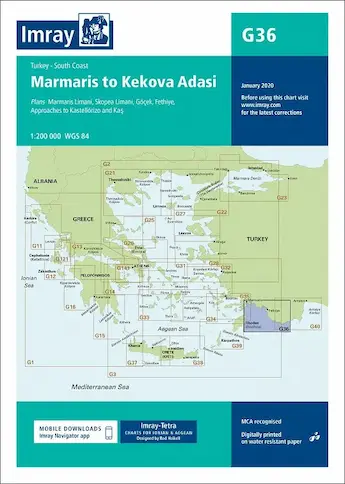
G36 Marmaris to Kekova, Lycian coast Turkey
G37 Crete (west)
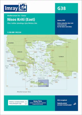
G38 Crete (east)
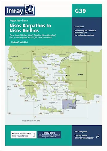
G39 Karpathos to Rhodes
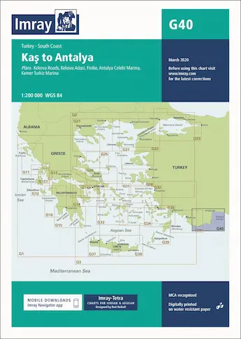
G40 Kaş to Antalya


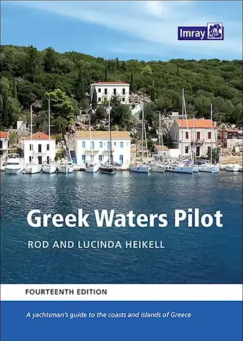
Imray pilot guides
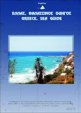
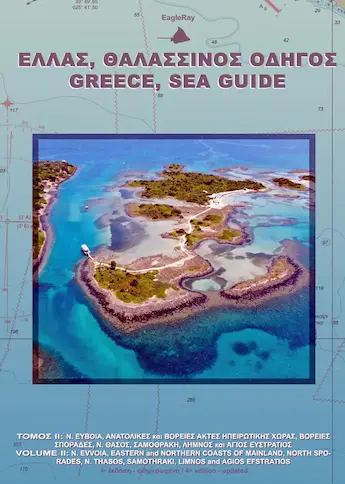
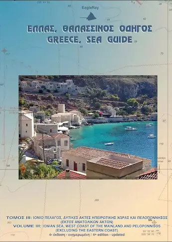
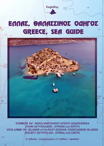
Greece, Sea Guides (EagleRay)